While making the research (grandiloquent term for a rapid reading of some old Google books) for Bunzlau, I noted in the narratives of the combat the important role played by a small wood bridge 'dominated by a watermill' and connecting the right bank to an island. Afterwards, when searching for an old map of the area, I arrived to this Polish Map Repository site from which I downloaded the below map of the Bunzlau/Bolesławiec area in 1943.
By
zooming in the area of interest, the features of the 1813 battle field become apparent. Below you can see the island between the main branch of the Bober River and the
millrace, labeled Mühl. Gr. i.e. Mühlgraben, on the map.
Immediately, the wargamer in me had the old feeling:
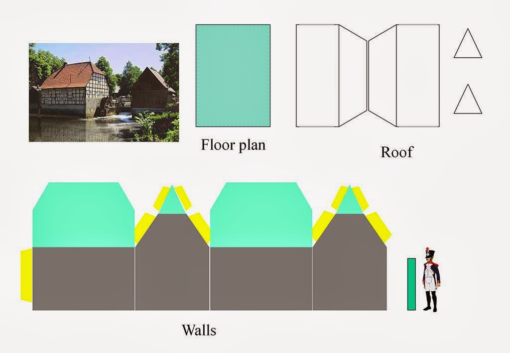
'I must to build a watermill', so I started a frenetic google search by using the terms "
watermill" and "
wassermühle". You can see below some of my findings, including both real and model items:
The last one, depicting a real
water mill located in Rheda (Germany) was my final inspiration
To be continued!




 Posts
Posts


